While museums around the world are shuttered due to the Covid-19 pandemic, Apollo’s usual weekly pick of exhibition openings will be replaced by a selection of digital initiatives providing virtual access to art and culture.
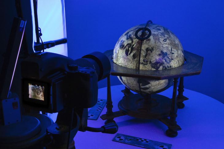
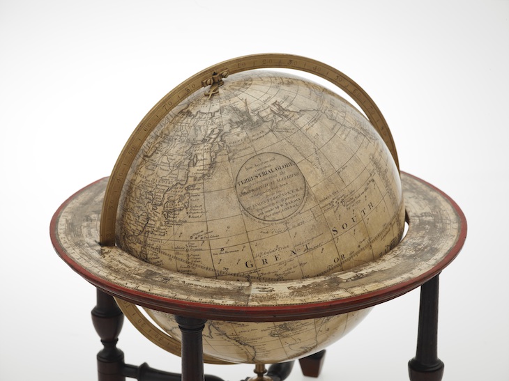
The British Library’s map collection numbers some four million objects, charting a comprehensive history of cartography. Many are made available to researchers for study and to the public in exhibitions – excepting a group of historical globes, whose fragility creates barriers to access. In partnership with the company Cyreal, the library has now created rotating 3D models of 30 of them, with the first ten available to view now. There is also an augmented reality function, available on phone or tablet using the Sketchfab app. The selection includes a ‘pocket globe’ of 1679 by the London-based printer Joseph Moxon, as well as celestial globes from France, Germany and Italy. Take them for a spin on your visit to the British Library’s website.
Preview below | View Apollo’s Art Diary here
Terrestrial globe (1783), Gabriel Wright and William Bardin. Photo: © The British Library, London
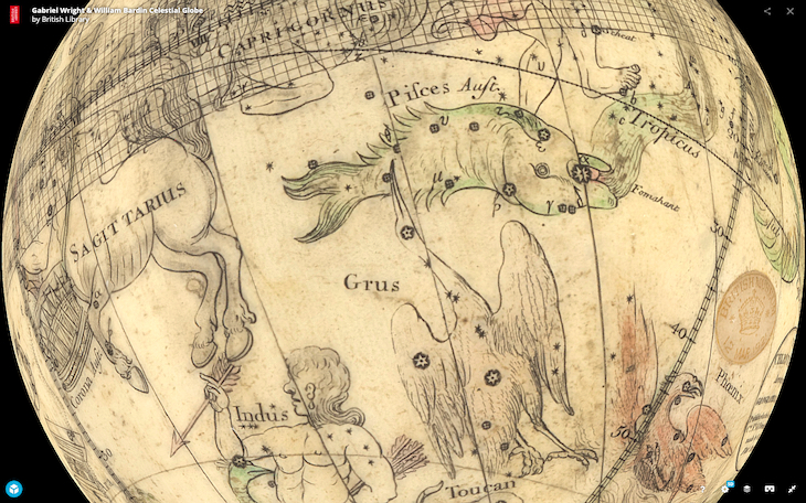
Screenshot showing the 3D model of Gabriel Wright and William Bardin’s celestial globe of 1783. Photo: © The British Library, London
The digitisation process. Photo: © The British Library, London